

Tras Lou Serre St Andeol de Clerguemort

ajasse
Gebruiker

Lengte
16,8 km

Max. hoogte
907 m

Positief hoogteverschil
669 m

Km-Effort
26 km

Min. hoogte
404 m

Negatief hoogteverschil
660 m
Boucle
Ja
Datum van aanmaak :
2019-05-27 08:50:06.704
Laatste wijziging :
2019-05-27 20:06:49.464
5h39
Moeilijkheid : Moeilijk

Gratisgps-wandelapplicatie
Over ons
Tocht Stappen van 16,8 km beschikbaar op Occitanië, Lozère, Ventalon en Cévennes. Deze tocht wordt voorgesteld door ajasse.
Beschrijving
Départ à Lezinier sous le temple de St Andeol de Clerguemort (difficile à trouver).
Découverte du patrimoine cévenol.
Architecture rurale, Châtaigneraies.
Plaatsbepaling
Land:
France
Regio :
Occitanië
Departement/Provincie :
Lozère
Gemeente :
Ventalon en Cévennes
Locatie:
Saint-Andéol-de-Clerguemort
Vertrek:(Dec)
Vertrek:(UTM)
572298 ; 4904681 (31T) N.
Opmerkingen
Wandeltochten in de omgeving
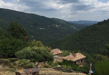
Sentier de l'Avès depuis le Coupétadou


Stappen
Medium
(1)
Vialas,
Occitanië,
Lozère,
France

15,3 km | 23 km-effort
4h 51min
Ja
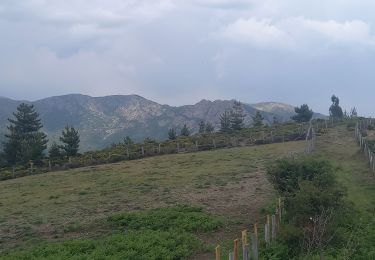
Sentier de l'Avès


Stappen
Medium
Ventalon en Cévennes,
Occitanië,
Lozère,
France

14,7 km | 22 km-effort
4h 24min
Ja

Vallée de l'Homol


Stappen
Moeilijk
(2)
Génolhac,
Occitanië,
Gard,
France

16 km | 24 km-effort
5h 5min
Ja
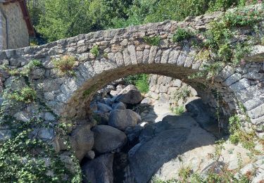
sud Mont Lozère de Vialas


Stappen
Moeilijk
Vialas,
Occitanië,
Lozère,
France

17,5 km | 29 km-effort
6h 4min
Ja
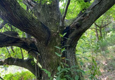

Sentier de l'Avès depuis le Coupétadou


Stappen
Medium
Vialas,
Occitanië,
Lozère,
France

15,3 km | 23 km-effort
4h 51min
Ja
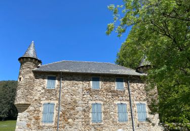
Vallée du Luech et vallée de l’Homol


Stappen
Zeer moeilijk
Chamborigaud,
Occitanië,
Gard,
France

19,9 km | 29 km-effort
6h 31min
Ja

Vialas et le Luech


Stappen
Medium
Vialas,
Occitanië,
Lozère,
France

8,1 km | 11,8 km-effort
2h 41min
Ja


 SityTrail


